|
Off to Alaska .....Western Trip 2007Southwest States |
|
|
Off to Alaska .....Western Trip 2007Southwest States |
|
Home
Shows:
|
Entering Nevada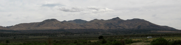 After leaving Weaverville, CA, I headed straight for Nevada, intending to stop at Reno for lunch, and a quick stop at a Casino. Well, I found the city a bit confusing to get around, and after finding the downtown disorienting, said the hell with it and got back on Rte. 80 East. I'll spend my money somewhere else. 
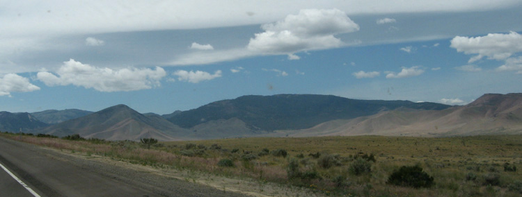
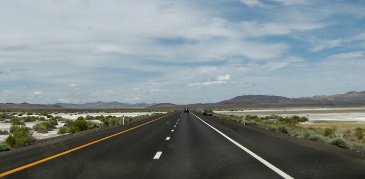
Entering Utah at Sunset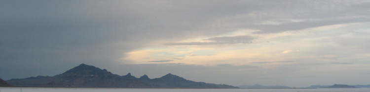 Salt Flats with mountains at sunset. I made great time, and entered Utah at sunset, and drove on to Toelle, covering over 700 miles today. There I found a TA Truckstop to stay at. I'm writing this as I eat breakfast, and plan to see more of the Great Salt Lake, and Salt Lake City today.
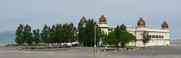
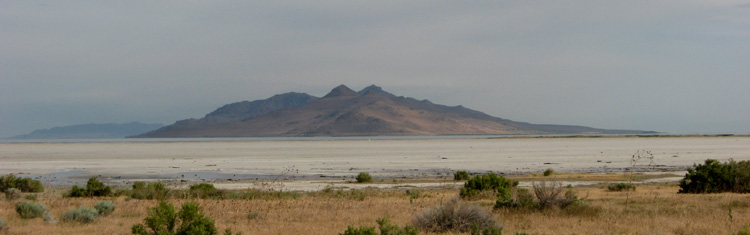
I drove towards Salt Lake City, and turned off at a sign which said Salt Lake Marina. Within sight, on the shore of the Great Salt Lake, was a unique building, which a sign which proclaimed to be "Saltair". It appears to presently being used for community performances and community access to the GSL. The Lake , itself was mostly mud with water being seen off in the distance. with a rocky mount protruding from it.
I continued on to Salt Lake City. I passed a "Visitor Information" sign which was permanently closed. I tried guessing which turnoff to the downtown, and got lost. I asked directions, and was instructed to go straight down this road which would lead to Temple Square.... The road curved at some point, and I found myself veering out of town. I swung around, and found the downtown center with much construction going on, but could see no temple. ( Olympics Coming?) No signs, no visitor information, no nothing. I gave up hopped on the highway and left. I turned off to get an oil change, and discussed this with a woman in the waiting room. She said the Temple was well worth seeing, but all the construction now blocks many views of the temple.... Oh Well..... their loss!
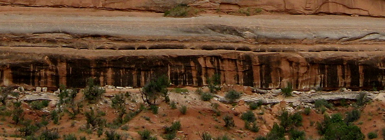
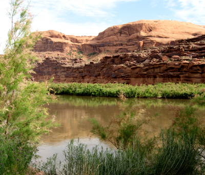
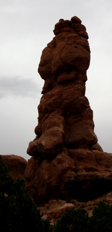
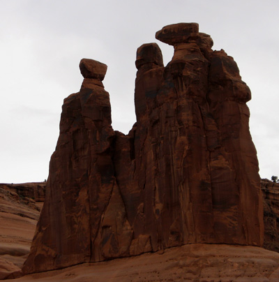
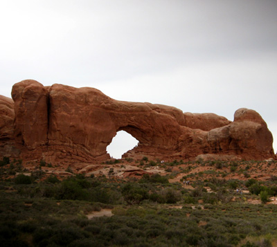
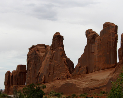
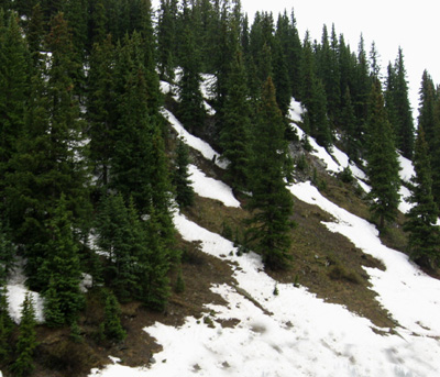
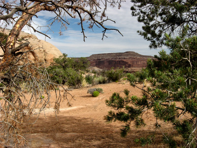
Canyonlands National ParkI've decided to make a cursory visit to Canyonlands, as I feel like moving on. However, I did get a few pictures which I am pleased with. 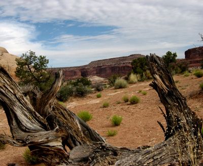
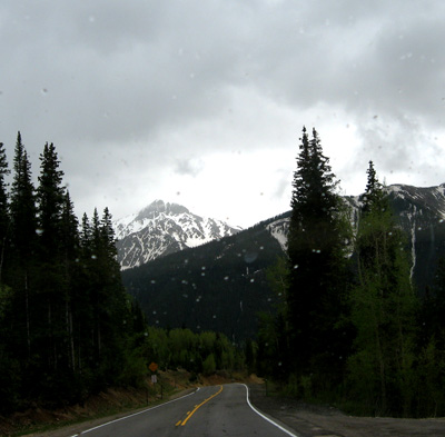
#49 - Rocky Mountain High!Well, I mapped out a route going South from Moab about 25 miles, and turning East following a series of routes that zig-zaged East into Colorado, and ended up on Route 550. From there 550 went South right into New Mexico and turned into a highway. It looked simple on the map, and it was for a while... 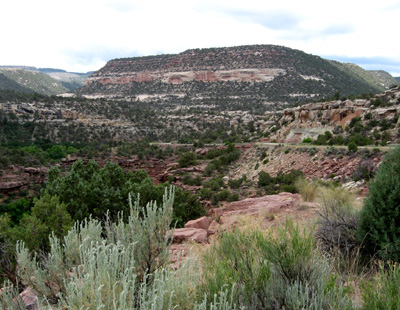 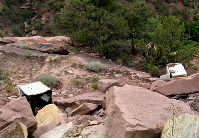
I took the first shot, and then walked closer to the edge and saw a very much contrasting vista.... An appliance dump I drove on and finally reached Rte 550 and turned South. The road was a 2 lane highway, until it came to Ouray where it became the Main St. in town. Then it proceeded to climb out of town (Emphasis on 'Climb') For the next 25 miles it was 2 mostly narrow lanes climbing and falling, twisting and turning, horseshoe curves, often with 300 -400 ft drop offs just 3 ft off the roadway with very few guard rails. Going around one such right curve with the drop off on my right, I could see a little of the asphalt sticking over the edge... it was undermined. Whew! |